
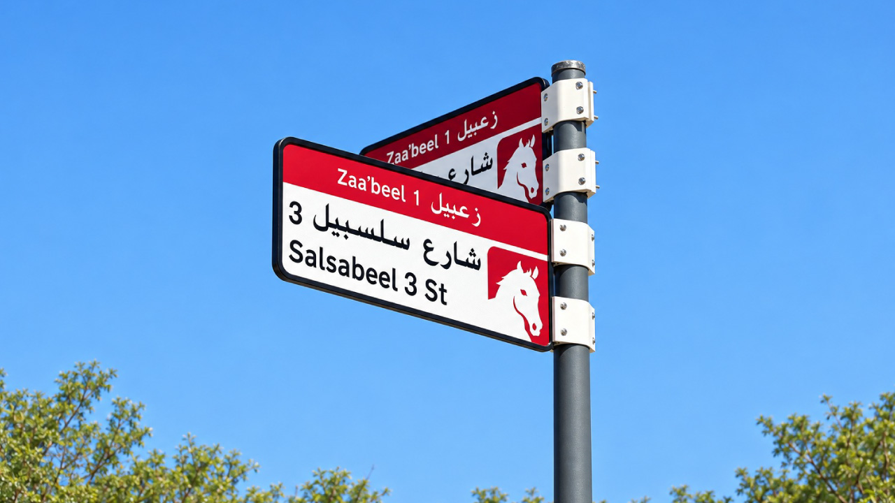
The Supreme Committee for Urban Planning, in coordination with Dubai’s Roads and Transport Authority (RTA) and Dubai Municipality, has launched a new visual identity and enhanced addressing system for areas across the Emirate of Dubai. The initiative includes the installation and replacement of area identification signs, internal street name signs, and house number plates, featuring unified designs and colours that reflect the geographic characteristics of each area. Developed through a specialist consultant in wayfinding and addressing design, the new system will help facilitate the identification of locations and improve accessibility, while enhancing the visual appeal of streets, residential neighbourhoods, and commercial districts.
The implementation plan covers 186 areas distributed across 19 sectors throughout Dubai, under a phased programme that will begin in the fourth quarter of 2026 and continue through 2030.
Communicate with us via any of the following channels



© 2025 Dubai 2040 Urban Master Plan. All Rights Reserved
